Maverick Mountain: Driving the 30-Mile Dirt Track in Fort Apache
Maverick Mountain is a mountain peak at an elevation of 2,465 meters (8,086 ft) above sea level, located within the White Mountain Apache Indian Reservation in Graham County, in the US state of Arizona.
| Road facts: Maverick Mountain | |
|---|---|
| Location | White Mountain Apache Reservation, Arizona, USA |
| Elevation | 2,465 m (8,086 ft) |
| Length | 30.2 miles (48.6 km) from Fort Apache |
| Elevation Gain | 4,003 ft (1,220 m) |
| Surface | Totally unpaved / Dirt, gravel, and volcanic rock |
Where is the road to Maverick Mountain?
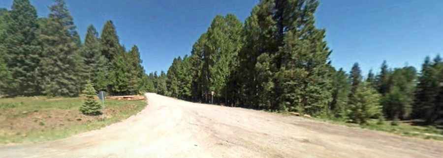
The unpaved mountain route begins in the town of Fort Apache. From the starting point, the track runs for 30.2 miles (48.6 km) east into the tribal lands of the White Mountain Apache Tribe. The lane cuts through dense ponderosa pine forests and crosses open volcanic ridges, gaining 4,003 feet of vertical elevation before terminating near the fire lookout tower at the summit.
Do you need a permit to drive to Maverick Mountain?
Yes. Because the entire 30.2-mile track sits on sovereign tribal land, drivers must obtain a specific recreation permit from the White Mountain Apache Tribe Game and Fish Department before leaving Fort Apache or Whiteriver. Access without this paper is prosecuted as trespassing.
Is the road to Maverick Mountain unpaved?
The track is entirely unpaved. The surface consists of a rough mix of loose gravel, deep dirt ruts, and sharp volcanic stone shards that can slice standard tire rubber. The route climbs heavily through several steep stretches without steel guardrails or side markers. The single-lane width lacks formal passing places; meeting oncoming fire trucks or utility vehicles forces drivers to back up along narrow dirt ledges next to steep forest drops.
What is at the summit of Maverick Mountain?
The drivable track terminates at the top, which houses a 60-foot steel fire lookout tower built in 1934. The area surrounding the old tower structure is a wild mountain habitat with frequent crossings of elk and black bears.
Is the road to Maverick Mountain closed in winter?
At an altitude of 2,465 meters, the upper sections of the track are blocked by deep snow drifts from November until late May. Regional tribal authorities perform zero snow removal on this forest route, keeping it completely impassable. During the summer monsoon season between July and September, sudden afternoon cloudbursts trigger quick flash floods and mud landslips that wash out the dirt track shoulders and drop heavy fallen pine trees directly across the driving lane.