How to drive the unpaved road to the lookout at Odart Mountain in Arizona?
Odart Mountain is a high mountain peak at an elevation of 2.600m (8,531ft) above sea level, located in Navajo County, in the U.S. state of Arizona.
Where is Odart Mountain?
The peak is located in the eastern part of Arizona, within the Fort Apache Reservation.
Why is there a road to Odart Mountain?
Set high in the White Mountains, at the summit there’s a lookout constructed in 1934.
Is the road to Odart Mountain unpaved?
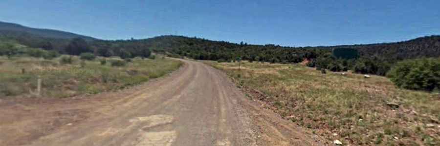
The road to the summit is totally unpaved. It’s called County Road 70. The road is pretty remote and comprises many steep parts. A 4x4 vehicle is required, especially for the last part of the road.
How long is the road to Odart Mountain?
Starting from 7 Mile Road, the road to the summit is 27.8km (17.3 miles) long. Over this distance, the elevation gain is 841m (2,759 ft) and the average gradient is 3.02%.