How to drive the unpaved road to the lookout at Webb Peak in Arizona
Webb Peak is a high mountain peak at an elevation of 3.043m (9,984ft) above sea level, located in Graham County, in the U.S. state of Arizona. It's one of the highest roads of Arizona.
Where is Webb Peak?
The peak is located in the southeastern part of Arizona, within the Coronado National Forest.
Why is there a road to Webb Peak?
At the summit there’s a lookout tower constructed in 1933.
Is the road to Webb Peak unpaved?
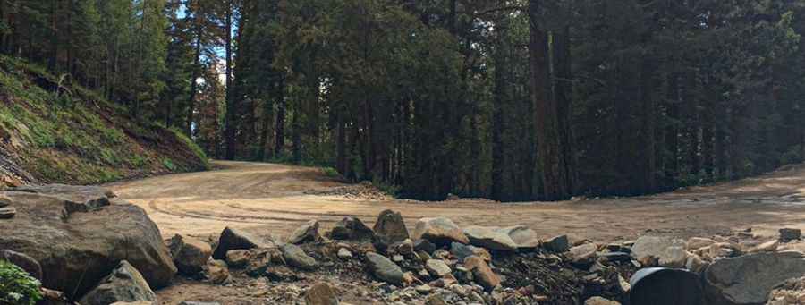
The road to the summit is totally unpaved. It’s called FH088. It comprises a few turns, narrow parts and very steep sections. A 4x4 vehicle is required.
How long is the road to Webb Peak?
Starting from Arizona State Route 366 (AZ-366), the road to the summit is 2.73km (1.7 miles) long. Over this distance, the elevation gain is 178m (584 ft) and the average gradient is 6.52%. The last part of the road is closed to private vehicles with a barrier.
Is the road to Webb Peak open year-round?
Set high in the Pinaleño Mountains, the road is not plowed in winters. It’s totally impassable from November 15 through April 15. Visitors should be prepared for high altitude conditions. Summertime temperatures average 70 degrees but can drop as low as 30 degrees at night or during the frequent summer afternoon thunderstorms. High winds frequently occur.
Pic: Peter Roman