How to drive the unpaved road to the lookout at Woody Mountain in Arizona
Woody Mountain is a high mountain peak at an elevation of 2.440m (8,006ft) above sea level, located in Coconino County, in the U.S. state of Arizona.
Where is Woody Mountain?
The summit is located near Flagstaff, in the north-central part of Arizona, within the Coconino National Forest.
Why is there a road to Woody Mountain?
The summit hosts a fire lookout tower constructed in 1936 by the Civilian Conservation Corps (CCC), replacing earlier lookout structures on the site dating back to 1910. It is no longer regularly staffed for active fire watch but it is still maintained and securely buttoned up. Accompanying the tower are a few small buildings and an outhouse.
Is the road to Woody Mountain unpaved?
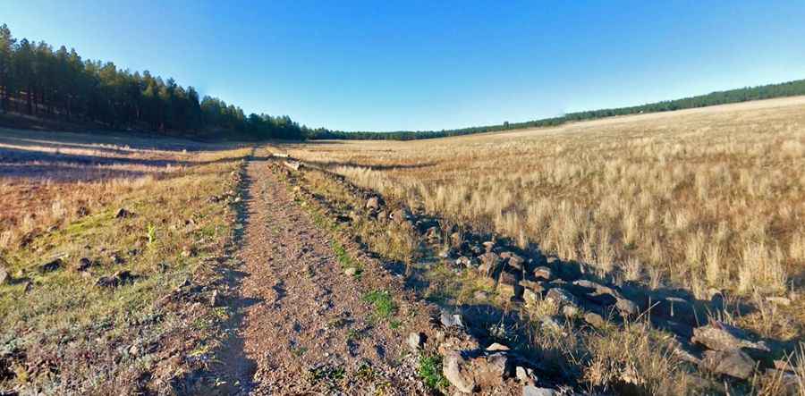
The road to the summit is totally unpaved. It’s called Woody Mountain Road. It is very muddy, bumpy and washboarded in parts. 4x4 vehicle required.
How long is the road to Woody Mountain?
Starting from Forest Service Road 231, the road to the summit is 2.41km (1.5 miles) long. Over this distance, the elevation gain is 203m (666 ft) and the average gradient is 8.42%.
Is the road to Woody Mountain open year-round?
Set high in the Coconino Plateau-San Francisco Volcanic Field the road is not plowed in winters.
Pic: Neil Weintraub