How to drive the unpaved road to the lookout at Ute Mountain in Utah?
Located in the northeastern corner of Utah, the drive to Ute Mountain is a short but technical ascent to one of the last remaining fire lookouts in the state. Reaching an elevation of 2,694m (8,838ft) above sea level within the Ashley National Forest, the road offers a brutal but rewarding 360-degree view of the uninhabited northern slopes of the Uinta Mountain Range.
| Road facts: Ute Mountain | |
|---|---|
| Location | Daggett County, Utah (USA) |
| Length | 2.09 km (1.3 miles) |
| Max Elevation | 2,694 m (8,838 ft) |
| Average Gradient | 6.26% |
| Vehicle Required | High-clearance 4x4 |
Where is Ute Mountain located?
The mountain is situated in western Daggett County, within the rugged landscapes of the Ashley National Forest. This remote sector of Utah is far from the main highways, meaning you need to be self-sufficient before heading into the forest road network. The primary access is via Forest Road 221, which serves as the gateway to the more technical sections leading up to the summit.
Why is there a road to the summit of Ute Mountain?
The track was established to provide access to the Ute Mountain Fire Tower, a historic lookout constructed in 1937. It is one of only two active lookouts left in Utah and is often staffed by volunteers during the high-risk fire season. The tower provides a critical vantage point over the virtually uninhabited wilderness of the Uinta Mountains. If the volunteers are present, they occasionally allow visitors to climb the tower for a panoramic view of the forest, though the drive up is the real test for any overlander.
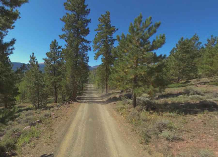
Is the road to Ute Mountain unpaved and dangerous?
The final stretch to the lookout, known as Forest Road 055 or Ute Mountain Road, is entirely unpaved and narrow. While it only spans 2.09 km (1.3 miles) from the junction with FR221, the terrain is composed of loose gravel and rocks that can shift under the weight of a heavy vehicle. A 4x4 with high clearance is mandatory; an AWD SUV will struggle with the ruts and the steep incline. The track is single-lane with very few passing places, meaning you must be prepared to reverse on a narrow ledge if you encounter a vehicle coming down from the tower.
How challenging is the drive to Ute Mountain?
With an average gradient of 6.26% and an elevation gain of 131m (433 ft), the climb is steady but relentless. In dry weather, the main challenge is the dust and the sharp stones that can puncture standard tires. However, after rain or early snow, the red dirt turns into a slick surface that requires low-range gearing to maintain traction. Due to the remote nature of the Uinta Range, there is no cell service on the road. Before driving up, ensure your cooling system is in top shape and your tires are aired down slightly to handle the vibrations of the mountain track.
Pic: Shannon Bushman