How to drive the unpaved road to Yellow Peak in Nevada?
Yellow Peak is a high mountain peak at an elevation of 2.190m (7,185ft) above sea level, located in Washoe County, in the US state of Nevada.
Where is Yellow Peak?
The peak is located in the northwestern part of Nevada, within the Sheldon National Antelope Refuge.
Why is there a road to Yellow Peak?
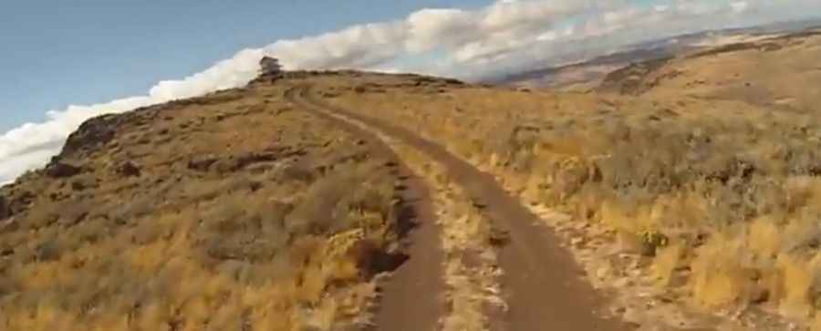
At the summit there’s a lookout tower built in 1981. It is staffed during periods of high fire danger.
Is the road to Yellow Peak unpaved?
The road to the summit is totally unpaved, narrow and steep in parts. It’s called State Route 34A. 4x4 vehicle required.
How long is the road to Yellow Peak?
Starting from County Road 34, the road to the summit is 7.40km (4.6 miles) long. Over this distance, the elevation gain is 484m (1,591 ft) and the average gradient is 6.54%.
Is the road to Yellow Peak open year-round?
Set high in the Hays Canyon Range, the road is not plowed in winters.
Pic&video: Doug Printz