How to drive the high-mountain Larkspur Mountain Road in Colorado?
Larkspur Mountain Road is a very scenic drive located in Pitkin County, in the US state of Colorado. This high-mountain road ends at 3.588m (11,771ft) above sea level.
Where is Larkspur Mountain Road?
The road is also known as FSR #103, Christmas Tree Road and Lenado/Johnson Creek Road. It is located in the central part of Colorado, within the White River National Forest.
Is Larkspur Mountain Road unpaved?
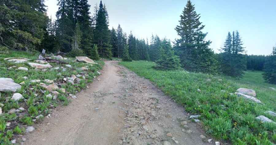
The road is totally unpaved, and pretty challenging, with loose rocks, steep sections and narrow parts. 4x4 vehicles only. It offers great views of the Elk Range all along the way.
How long is Larkspur Mountain Road?
Starting from Kobey Park Road, the road is 7.40km (4.6 miles) long. Over this distance, the elevation gain is 216m (709 ft) and the average gradient is 2.91%.
Is Larkspur Mountain Road open year-round?
Set high in the Elk Mountains, the road climbs up to Larkspur Mountain, at an elevation of 3.430m (11,253ft) above sea level and Mount Yeckel, where it ends, at an elevation of 3.588m (11,771ft) above sea level. It is not plowed in winters. It is usually snow-free from June to October.
How to drive to Margy's Hut?
The road leads to Margy's Hut, a high mountain refuge at an elevation of 3.454m (11,332ft) above sea level. The hut was built in 1982 and has beautiful views of the Elk Mountains to the south.
Pic: bryan reinholdt