Frying Pan Road is an awe-inspiring route through White River NF
Frying Pan Road is a very scenic uphill drive located in the U.S. state of Colorado. The road runs entirely above 2,000m (6,500ft) above sea level.
Where is Frying Pan Road?
The road straddles Pitkin and Eagle counties, in the central part of Colorado, to the west of Denver.
How long is Frying Pan Road?
Frying Pan Road (CR 104) is 68.07km (42.3 miles) long, running west-east from the quaint town of Basalt to the crossroads of Forest Road 105 (Hagerman Pass Road) and Forest Rd 527 (Ivanhoe Lake Road). It follows the Fryingpan River all the way up to Ruedi Reservoir. Continuing past the reservoir for a longer ride will allow for a more secluded and remote experience. The highlight of the route is the section near the shoreline of John Ruedi Reservoir.
Is Frying Pan Road paved?
The road is mostly asphalted (31.7 miles), winding through the Fryingpan Valley. The last 11 miles of the Frying Pan Road are on a gravel surface. This part is an old railroad grade and it’s in good condition. A 4x4 vehicle may be required to complete the drive.
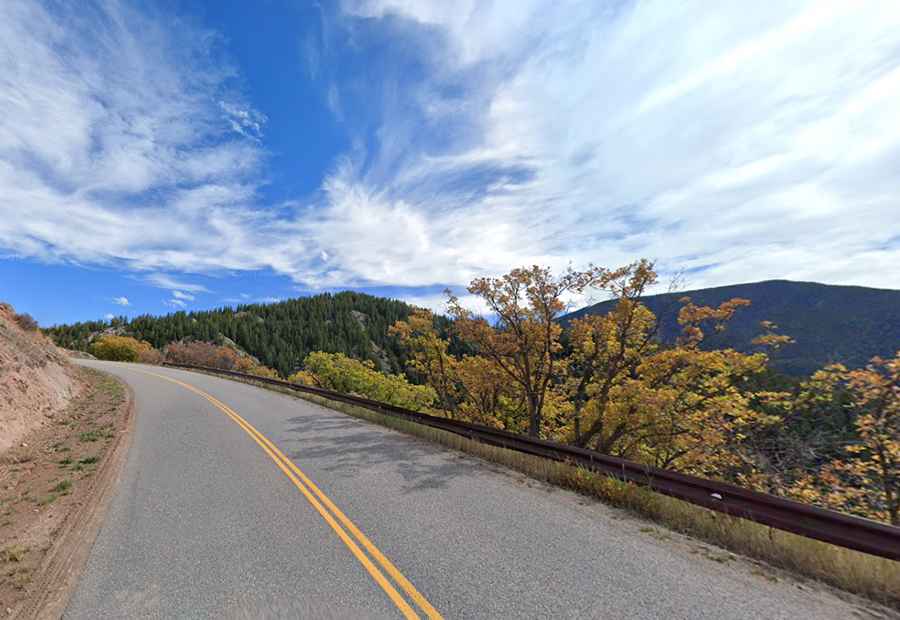
How challenging is Frying Pan Road?
The road twists and turns in the canyon with sections hugging the red rock walls. It’s well-maintained, with two lanes, and serves as the main route to Ruedi Reservoir. It has blind curves and hills for driveways and other access roads. The surface is good all the way up the valley to the terminus. You will encounter many 25-35 mph marked corners with good asphalt. Watch for gravel in some corners. There are good elevation changes as the road hugs the many fingers of the lake. The pavement is good through the entire route but deteriorates past the reservoir with less use.
Is Frying Pan Road open?
Set high in the White River National Forest, the road tops out at 3,264m (10,708ft) above sea level near its end. It is closed in winters. Anytime heavy snowfall and areas of blowing snow will result in hazardous driving conditions.