How to drive the unpaved road to Jones Mountain in Colorado?
Jones Mountain is a high mountain peak at an elevation of 3.866m (12,683ft) above sea level, located in Chaffee County, in the US state of Colorado. It’s one of the highest roads of Colorado.
Where is Jones Mountain?
The peak is located east of Crested Butte, in the south-central part of Colorado, within the Gunnison National Forest. The view alone of Ptarmigan Lake and Mt. Yale was spectacular at the summit. If you are a photographer, this is a place you really might want to consider visiting.
Is the road to Jones Mountain unpaved?
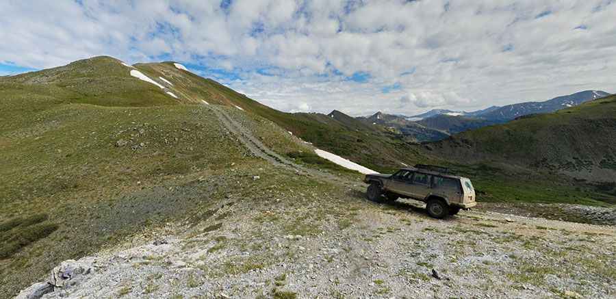
The road to the summit is totally unpaved, narrow and very steep. It’s an old dirt road passing a few mining spots and tailings. It features 11 hairpin turns. A 4x4 vehicle is required.
How long is the road to Jones Mountain?
Starting from County Road 344, the road to the summit is 4.2 km long. Over this distance, the elevation gain is 534 m and the average gradient is 12.71%.
Is the road to Jones Mountain open year-round?
Set high in the Sawatch Range, the road is not plowed in winters. The San Juans get monumental snowfalls during the winter. That limits the driving season from June through November.
Pic: Kristofer Carlstedt