The Breathtaking Road to Quail Mountain in Colorado
Quail Mountain is a high mountain peak located in Chaffee County, in the U.S. state of Colorado. East of the summit, an old mining road climbs up to an elevation of 4,006m (13,143ft) above sea level. This is truly a breathtaking trail. It’s one of the highest mountain roads in Colorado.
Where is Quail Mountain?
The peak is located west of Granite, in the central part of Colorado.
What’s at the summit of Quail Mountain?
The summit is crowned with two old cabins from the mining era. There are a few overlooks at the top that offer some spectacular views of the area. Lost Canyon is below you to the northeast, Clear Creek Reservoir is fully visible below you to the east, and you can see mountains all around.
Is the road to Quail Mountain unpaved?
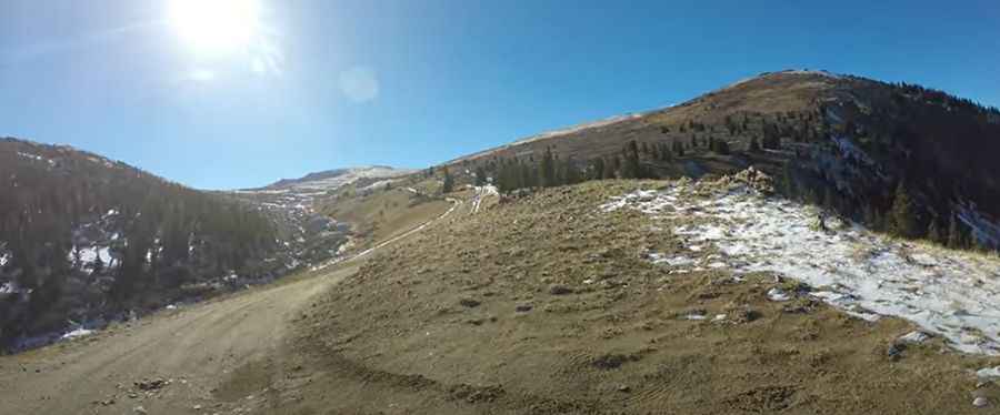
The road to the summit is totally unpaved. It’s called Forest Service Road 398 (Lost Canyon Road).
Can I drive my vehicle to Quail Mountain?
4x4 vehicles with high clearance are required. The first half of the trail is fairly easy and possible in almost any vehicle. The second half of the trail climbs above timberline and is rocky and rough.
How long and steep is the road to Quail Mountain?
The road is brutally steep, hitting a 20% maximum gradient through some of the ramps. Starting at FR398 A road, the ascent is 3.8 km (2.36 miles) long. Over this distance, the elevation gain is 393 meters. The average percentage is 10.34%.
Is the road to Quail Mountain open in winter?
Set high in the Sawatch Range, the road is impassable in winter.
Pic&video: 4D Enduro trails