The road to Wheeler Lake in Colorado is not for the faint of heart
Wheeler Lake is a high mountain lake at an elevation of 3,717m (12,194ft) above sea level, located in Park County, in the U.S. state of Colorado. It’s one of the highest roads in Colorado and a difficult 4×4 trail.
Where is Wheeler Lake?
The high-altitude alpine lake is located about halfway between Alma and Breckenridge, in the central part of Colorado, within Pike National Forest.
How challenging is the road to Wheeler Lake?
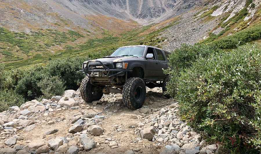
Surrounded by stunning granite peaks, the road to the lake is completely unpaved. It’s called Pv32. The route is very rough, with large loose rocks, and offers challenging terrain for experienced drivers. Avoid committing your vehicle to what’s ahead until you are sure of the conditions, as they could worsen. It is a difficult 4×4 trail, and a high-clearance 4x4 vehicle is required. It cannot be accessed by ordinary passenger vehicles because the trail features three main obstacles and crosses several creeks.
How long is the road to Wheeler Lake?
Starting at the west end of the Montgomery Reservoir, near Magnolia Mill, the road to the lake is 4.82km (3.0 miles) long. Over this distance, the elevation gain is 373 meters. The average grade is 7.73%, with some ramps reaching a maximum gradient of 18.2%. The drive is steep and challenging.
Is the road to Wheeler Lake open in winter?
Set high in an alpine valley in the Mosquito Range of the Rocky Mountains, the road is usually impassable due to snow from October through June. It is not generally snow-free until late June or even July in some years.
Pic: Lauren