Road Trip Guide: Conquering Mount Tilton in Colorado
Mount Tilton is a high mountain peak at an elevation of 3,777m (12,391ft) above sea level, located in Gunnison County, in the U.S. state of Colorado. It’s one of the highest roads in Colorado.
Where is Mount Tilton?
The peak is located south of Aspen, in the south-central part of Colorado, within the White River National Forest.
Is the road to Mount Tilton unpaved?
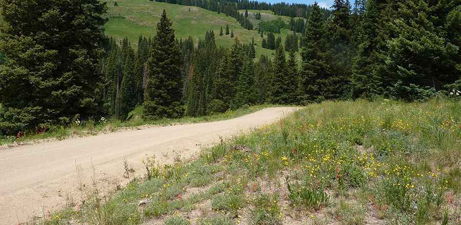
The road to the summit is totally unpaved. It’s called County Road 740, also known as Cement Creek Road, FSR #740. 4x4 vehicle required. The drive offers a little bit of everything, including fantastic views at the end.
Is the road to Mount Tilton open in winter?
Set high in the Rocky Mountains of Colorado, the road is impassable in winter and open from Mid-June – October.
How long is the road to Mount Tilton?
Starting at the paved CO-135 road, the road to the summit is 26.07km (16.2 miles). Over this distance, the elevation gain is 1,158 meters. It’s steep in parts, hitting a 22.6% maximum gradient through some of the ramps.
Pic: Patrick McKiernan