How to get by car to Carson ghost town in Colorado?
Carson is a mining ghost town situated at an elevation of 3,531m (11,584ft) above sea level located in Hinsdale County, in the U.S. state of Colorado.
Why is Carson ghost town famous for?
Carson was one of the most inaccessible mining camps in the state. Founded in 1889, the town reached its peak at the turn of the century when approximately 500 miners worked the mountain top, extracting gold and silver. However, the town was a victim to the harsh winters of Colorado and subsequently became abandoned.
Can you drive to Carson ghost town in Colorado?
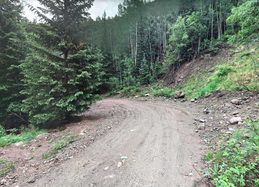
Yes, but the journey requires experience with back roads. The road leading to Carson is known as County Road 36. It is a challenging drive with steep sections, limited spots for vehicles to pass each other, and very little traffic. The trail offers captivating views and encounters with several ruined mines. For those not familiar with such terrains, it's advised to avoid this road. Especially beginner riders should exercise caution. The road is very narrow and features multiple tight switchbacks and steep drop-offs that may be intimidating for beginners.
How long is the road to Carson ghost town in Colorado?
The trail starts at County Road 30 and spans 5.63 km (3.5 miles). The surface is a mix of gravel and bumpy terrains with embedded rocks. To navigate this road and reach the several remaining empty buildings and relics, a high-clearance, four-wheel drive vehicle is essential. This route is also open to OHVs, motorcycles, hikers, and bicyclists.
Is the road to Carson ghost town in CO open year-round?
Set high on the Continental Divide, the road remains impassable from October to June, mainly due to snow. Given its high altitude, unexpected snowfalls can lead to closures at any time. Additionally, the area is susceptible to heavy mist, making driving hazardous in low visibility conditions.
Pic: kenny parish