How to drive the scenic Boca Chica Road in Florida?
Boca Chica Road is a short paved road located in Monroe County, in the lower Florida Keys, in the US state of Florida.
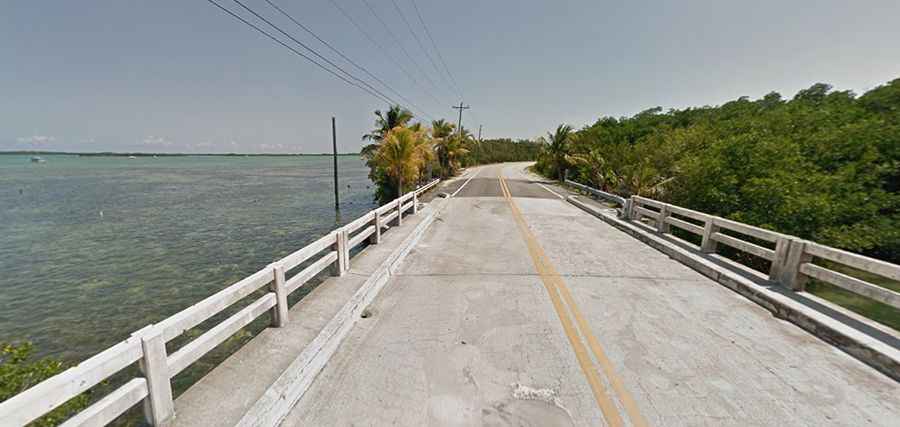
| Road facts: Boca Chica Road | |
|---|---|
| Location | Monroe County, Florida Keys (USA) |
| Road Name | County Road 941 (CR 941) |
| Length | 3.2 miles (5.1 km) |
| Speed Limit | 30 mph (48 km/h) |
| Surface | Paved asphalt (turns into broken pavement, sand, and gravel near the coast) |
| Key Hazards | Washed-out pavement, storm surge damage, military perimeter limits |
Where is Boca Chica Road located?
The road, officially known as County Road 941, branches directly off US-1 (Overseas Highway) around Mile Marker 7-8 in Key West, running south along the perimeter of Naval Air Station Key West towards Boca Chica Beach and Geiger Beach.
How long is Boca Chica Road?
The road is 3.2 miles long with a posted speed limit of 30 mph. It provides scenic open views of the ocean as it links US-1 with the naval installation and the shoreline.
Is Boca Chica Road paved?
The road starts as a standard paved two-lane local road. However, as it nears the coastline, the surface deteriorates rapidly. The old asphalt breaks down into sand, loose gravel, and exposed sub-base due to ocean erosion and storm surges.
Why is the end of Boca Chica Road damaged?
In the past, the road extended further along the shore, but severe damage from storm surges during major weather events—specifically Hurricane Wilma—permanently washed out the final coastal segment. The ruined end portion was never rebuilt, leaving broken asphalt remnants right at the water's edge.