How to drive the unpaved road to Snowshoe Mountain in Colorado?
Snowshoe Mountain is a high mountain peak at an elevation of 3.494m (11,463ft) above sea level located in Routt County, in the US state of Colorado.
Where is Snowshoe Mountain?
The peak is located west of Del Norte, in the southern part of Colorado, within the Rio Grande National Forest.
Is the road to Snowshoe Mountain unpaved?
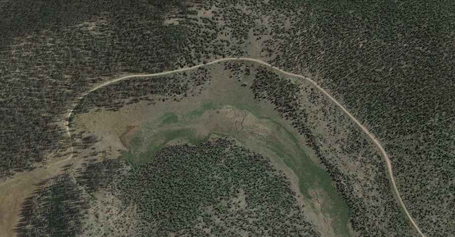
The road to the summit is totally unpaved. It’s called Forest Service Road 528. It is a gravel 4wd track, with steep sections and 4 challenging hairpin turns.
How long is the road to Snowshoe Mountain?
Starting from Middle Creek Road, the road to the summit is 20km (12.4 miles) long. Over this distance, the elevation gain is 786m (2,582 ft) and the average gradient is 3.93%.
Is the road to Snowshoe Mountain open year-round?
Set high in the San Juan Mountains, the road is not plowed in winters.