How to drive the unpaved road to Farwell Mountain in Colorado
Farwell Mountain is a high mountain peak at an elevation of 3.302m (10,833ft) above sea level, located in Routt County, in the US state of Colorado.
Where is Farwell Mountain?
The peak is located east of Hahns Peak Village, in the northern part of Colorado, within the Routt National Forest.
Is the road to Farwell Mountain unpaved?
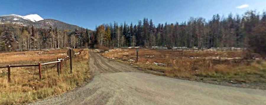
The road to the summit is a gravel 4wd track. It’s called Forest Road 4092B. It is very rocky.
How long is the road to Farwell Mountain?
Starting from Forest Road 409, the road to the summit is 1.12km (0.7 mile) long. Over this distance, the elevation gain is 75m (246 ft) and the average gradient is 6.69%.
Is the road to Farwell Mountain open year-round?
Set high in the Park Range, the road is not plowed in winters.