How to drive the high-mountain County Road 430 in Colorado?
Located in Mineral County, in the US state of Colorado, the challenging County Road 430 is a high mountain road, topping out at 3.591m (11,781ft) above sea level.
Where is County Road 430?
The road is located west of South Fork, in the southern part of Colorado.
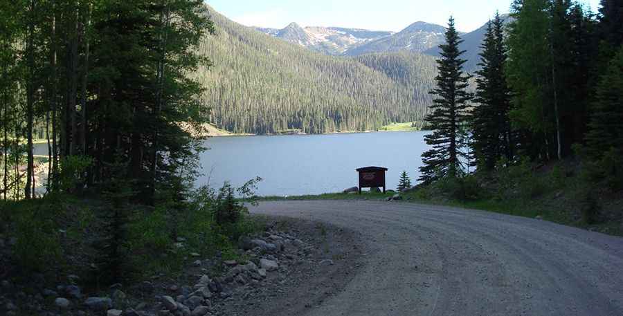
Is County Road 430 unpaved?
It’s totally unpaved and challenging, with narrow parts, steep sections and 14 hairpin turns. A 4x4 vehicle is required.
How long is County Road 430?
The road is 26.0 miles long, running south-north from the paved US-160 to the paved CO-149.
Is County Road 430 open in winter?
The road climbs up to Trout Mountain (a high mountain pass at an elevation of 3.591m-11,781ft above sea level and Metroz Mountain (a high mountain pass at an elevation of 3.581m-11,748ft above sea level). At these elevations, the road is totally impassable in winters.
Pic: http://cmcontheroad.blogspot.com/2010/06/big-meadows-reservoir-shaw-lake.html