How to drive to the lookout at Horse Mountain in Idaho
Horse Mountain is a high mountain peak at an elevation of 2.103m (6,899ft) above sea level located in Adams County, in the US state of Idaho.
Where is Horse Mountain?
The peak is located in the western part of Idaho, near the Oregon border, within the Payette National Forest.
What’s at the summit of Horse Mountain?
At the summit there’s a lookout constructed in 1935 and called Horse Mountain lookout. If there is a thunderstorm in the area, please do not visit a lookout.
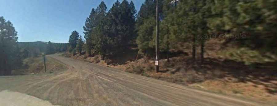
Is the road to Horse Mountain unpaved?
The road to the summit is totally unpaved. It’s called Horse Mountain Road. The road is packed dirt and gravel, with sections of loose rock and ruts.
How long is the road to Horse Mountain?
Starting from Lockwood Saddle, the road to the summit is 2.25km (1.4 miles) long. Over this distance, the elevation gain is 153m (505 ft) and the average gradient is 6.8%. While 4WD isn't always required in dry conditions, the route can become muddy and challenging after rain, making high clearance vehicles a smart choice year-round.