How to drive the unpaved road to the lookout at Sawyer Ridge in Idaho?
Sawyer Ridge is a high mountain peak at an elevation of 2.228m (7,309ft) above sea level located in Idaho County, in the US state of Idaho.
Where is Sawyer Ridge?
The peak is located north of Gospel Peak, in the western part of Idaho.
Why is there a road to Sawyer Ridge?
At the summit there’s a lookout constructed in 1949 and called Sawyer Ridge lookout.
Is the road to Sawyer Ridge unpaved?
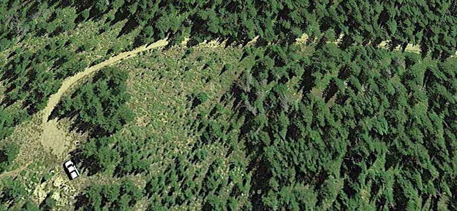
The road to the summit is totally unpaved and pretty rough. It’s called NF-444A. A 4x4 vehicle is required.
How long is the road to Sawyer Ridge?
Starting from Forest Road 444 (Gospel Road), the road to the summit is 3.3 miles long.
Is the road to Sawyer Ridge open year-round?
Set high in the Nez Perce National Forest, the road to the summit is usually blocked by snow during winters.