How to drive the unpaved road to the lookout at Sourdough Peak in Idaho
Sourdough Peak is a high mountain pass at an elevation of 2.076m (6,811ft) above sea level located in Idaho County, in the US state of Idaho.
Where is Sourdough Peak?
The peak is located in the northern part of Idaho, within the Nez Perce National Forest.
Why is there a road to Sourdough Peak?
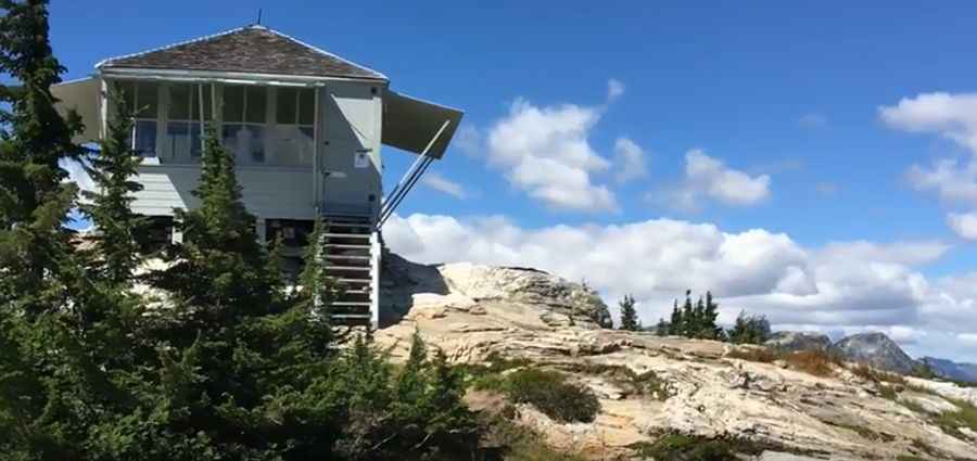
At the summit there’s a lookout constructed in 1927 and called Sourdough Peak Lookout. It was abandoned in 1969. In 1994 and 1995 the Nez Perce National Forest conducted a complete restoration.
Is the road to Sourdough Peak unpaved?
The road to the summit is totally unpaved. It’s called NF-492 (Santiam-Sourdough Road). It comprises many narrow parts, steep sections and turns. 4x4 vehicle recommended.
How long is the road to Sourdough Peak?
Starting from Santiam Road, the road to the summit is 19.5 miles long.
Is the road to Sourdough Peak open year-round?
Set high in the Clearwater Mountains, the road is not plowed in winters.
Pic: Major Lee