How to get to the lookout at the summit of Hogback Mountain in Montana?
Hogback Mountain is a high mountain pass at an elevation of 2,380m (7,808ft) above sea level, located in Lewis and Clark County, in the U.S. state of Montana.
Where is Hogback Mountain?
The mountain is located north of Helena, in the central part of Montana, within the Helena–Lewis and Clark National Forest.
What’s at the summit of Hogback Mountain in Montana?
At the summit, there’s a fire lookout tower. Originally constructed with an L-4 cab in 1936, it was replaced in 1961 by an R-6 flat cab set on a 10-foot concrete base. The tower may be staffed during summer months and remains available for emergency use.
How long is the road to Hogback Mountain?
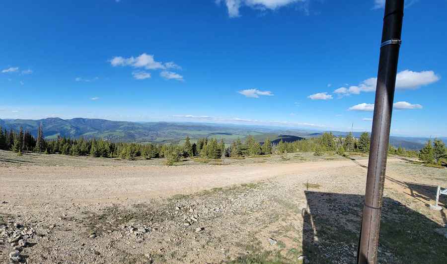
The road to the summit is totally unpaved, though in pretty good condition. A 4x4 vehicle is recommended. Starting from Lingshire, the road to the summit is about 40km (25 miles) long.
Pic: Michael Williams