Iron Mountain Road (FS 482): The complete 4x4 guide through the Crazy Mountains
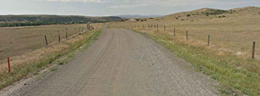
The Iron Mountain Road, officially Forest Service Road 482, is one of the most rugged and scenic backcountry routes in Sweet Grass County, Montana. Spanning 23.2 miles through the Gallatin National Forest, this unpaved track summits three major high points—Ellis Mountain, Sliderock Mountain, and Iron Mountain—offering a definitive Montana off-road experience.
| Road facts: Iron Mountain Road (Complete Route) | |
|---|---|
| Location | Sweet Grass County, Montana (USA) |
| Length | 37.3 km (23.2 miles) |
| Hairpin Turns | 14 |
| Max Elevation | 2,091 m (6,860 ft) at Ellis Mountain |
| Surface | Gravel / Rocky Dirt / 4WD Track |
| Vehicle Required | High-Clearance 4x4 |
What is the full route of Iron Mountain Road?
The complete journey along the FS 482 stretches for 23.2 miles, connecting remote sections of the Crazy Mountains. The road is famous for its 14 sharp hairpin turns that navigate the steep terrain as the track climbs toward the high ridges. Starting from the lower valleys, the road gains significant elevation, providing access to a series of high-altitude summits.
Three summits in one journey
Driving the full length of the Iron Mountain Road allows you to cross three distinct peaks, each with its own character:
- Ellis Mountain (2,091m): The highest point of the entire 23.2-mile trek, offering 360-degree views of the Gallatin National Forest.
- Sliderock Mountain (2,052m): Named for its unstable terrain, this section features loose rock and technical driving over scree slopes.
- Iron Mountain (1,944m): A central peak along the ridge that serves as a landmark for backcountry travelers.
Driving difficulty and surface conditions
The surface of the FS 482 is entirely unpaved and varies from graded gravel to rocky 4WD tracks. The 14 hairpins require careful maneuvering, especially for longer vehicles. Due to the rocky and often muddy nature of the road, a high-clearance 4x4 is mandatory. The track is "tippy" in several sections, and the lack of guardrails alongside steep drops adds a psychological challenge to the drive.
When should you avoid driving the FS 482?
The high-altitude environment of the Crazy Mountains means the road is only accessible during a short window, typically from July to September. Even in summer, a single heavy rainfall can transform the dirt sections into deep mud, making the 14 hairpins dangerously slippery. Landslides and fallen rocks are common hazards along the 23.2-mile route.
Is the full Iron Mountain Road drive worth it?
For off-road enthusiasts, this is one of Montana's hidden gems. The combination of the technical climb, the high number of switchbacks, and the ability to "bag" three summits in one 23.2-mile drive makes it a bucket-list route for those looking to escape the more crowded forest roads.