How to get to Fisher Mountain in southern Montana?
Fisher Mountain is a high mountain peak at an elevation of 3,122m (10,242ft) above sea level, located in Park County, in the US state of Montana. It's one of the highest roads in Montana.
Where is Fisher Mountain?
The summit is located south of Lulu Pass, in the southern part of Montana, near the Wyoming border, within the Absaroka-Beartooth Wilderness. Near the summit are only a few historic ruins left from the New World Mining District.
Is the road to Fisher Mountain unpaved?
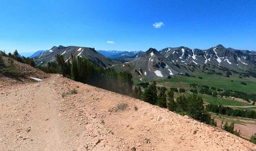
Set high in the Beartooth Range, the road to the summit is totally unpaved. It’s an old mining road. The road is rough, and high-clearance, four-wheel-drive vehicles are required.
How long is the road to Fisher Mountain?
The drive offers beautiful views of the Beartooth Mountains. It’s a pretty steep trail. Starting from US-212 (Beartooth Highway), the ascent is 7.72km (4.8 miles) long. It’s usually impassable from November to May.
Pic: SkyFox Media