How to drive the unpaved road to Vermilion Pass in Montana
Vermilion Pass is a high mountain pass at an elevation of 1.838m (6,030ft) above sea level located in Sanders County, in the US state of Montana.
Where is Vermilion Pass?
The pass is located north of Thompson Falls, in the northwestern part of Montana, within the Lolo National Forest
Is the road to Vermilion Pass unpaved?
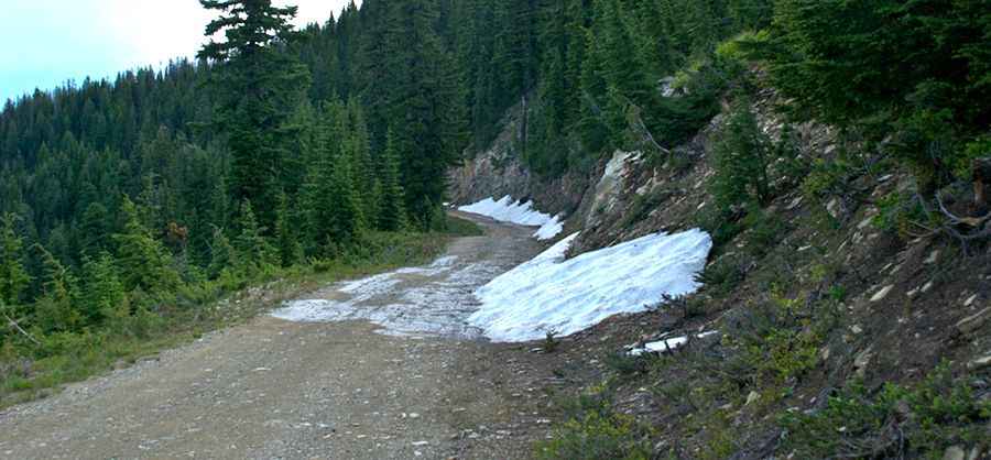
The road to the summit is totally unpaved. It’s called NF-367 (Graves Creek Road). It features many steep sections, curves and 15 sharp hairpin turns.
How long is the road to Vermilion Pass?
Set high in the Cabinet Mountains, the road is 23.4 miles long, running north-south from Vermilion Creek Road to Belknap.
Pic&more info: https://montucky.wordpress.com/tag/vermilion-pass/