How long is the 4x4 road to Jacks Peak in Utah?
Jacks Peak is a high mountain pass at an elevation of 3,057m (10,029ft) above sea level, located in Millard County, in the US state of Utah. The summit is reached via the Forest Road 096 (FR 096), a 50.5-mile unpaved track that climbs from Richfield to the radio towers at the top.
| Road facts: Jacks Peak (FR 096) | |
|---|---|
| Location | Millard County, Utah (USA) |
| Elevation | 3,057 m (10,029 ft) |
| Length | 50.5 miles (81.2 km) |
| Surface | Gravel and Desert Dirt |
Why is there a road to Jacks Peak?
The summit area is crowded with radio towers and guy-wires, leaving very little room to turn around.
How long is the road to Jacks Peak?
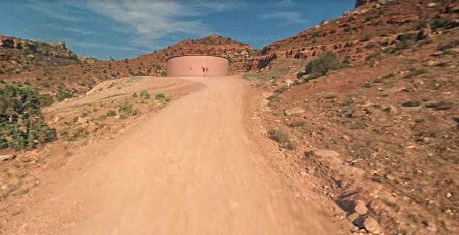
The drive from Richfield to the summit is 80-kilometer long. Most of the 50.5 miles are covered in washboard ripples. The surface is a mix of packed dirt and loose desert gravel that gets steeper and more rutted as you approach 3,000 meters. High-clearance is essential to avoid hitting rocks in the deep ruts. The road is narrow and follows ridges with no guardrails and long drops into the high desert basins.
How remote is the road to Jacks Peak?
Isolation is the main danger. You can drive for hours without seeing another soul, and cell service is non-existent.
When is the best time to drive to Jacks Peak?
The road is blocked by snow for a large part of the year, typically from late October until June. In the summer, the heat can be extreme. Sudden thunderstorms are frequent and will turn the dry dust into a slick, "greasy" mud. . Flash floods can also wash away entire sections of the roadbed, leaving behind deep gullies that are impassable for anything but a high-clearance 4x4.