A memorable road trip to Griffin Top in Utah
Griffin Top is a high mountain peak at an elevation of 3,283m (10,771ft) above sea level located in Garfield County, in the U.S. state of Utah. It’s one of the highest roads in Utah. There are panoramic views from the summit.
Where is Griffin Top?
The peak is located east of Widtsoe, a ghost town in the southern part of Utah.
Is the road to Griffin Top unpaved?
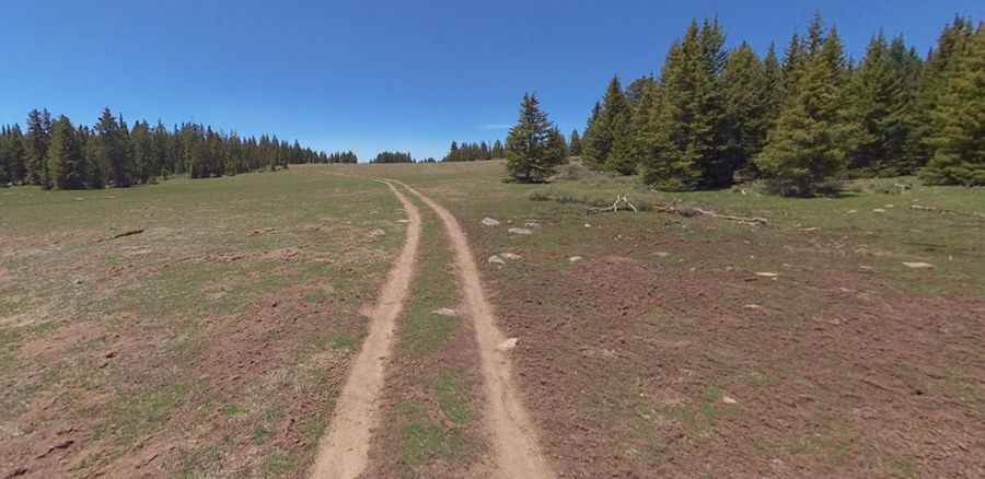
The road to the summit is totally unpaved but pretty well-maintained. It’s called Forest Road 1377 (Griffin Top Road). High clearance vehicle required, especially after rains when it has some shallow water crossings.
Is the road to Griffin Top open in winter?
At this elevation, the road is open from May to November only.
How long is the road to Griffin Top?
Starting at Forest Road 140, the ascent is 3.37km (2.1 miles) long. Over this distance the elevation gain is 52 meters. It’s mostly flat.
Is the road to Griffin Top worth the drive?
This drive is very scenic as it crosses a high-altitude plateau, with its long stretches of alpine meadows and wildlife viewing opportunities. Along the way, you’ll have wonderful views of Mount Dutton.
Pic: Shannon Bushman