How to drive the paved UT-14 road to Cedar Canyon Summit?
Cedar Canyon Summit is a high mountain pass at an elevation of 3.023m (9,917ft) above sea level located in Iron County, in the US state of Utah.
Where is Cedar Canyon Summit?
The pass is located in the southwestern part of Utah, within the Cedar Breaks National Monument.
Is the road to Cedar Canyon Summit paved?
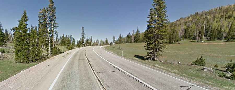
The road to the summit is totally paved. It’s called UT-14. The road comprises many curves, steep parts and drop-offs in sections.
How long is the road to Cedar Canyon summit?
Starting from Duck Creek Village, the road to the summit is 20.59km (12.8 miles) long. Over this distance, the elevation gain is 460m (1,512 ft), hitting an 8% of maximum gradient through some of the ramps.
Is the road to Cedar Canyon Summit open?
The road is officially open year-round, but the high-altitude section at the summit closes temporarily during heavy snowstorms. The Utah Department of Transportation blocks the access gates at the bottom until snowplows clear the asphalt. Because plows only operate during daylight hours, daytime snowmelt freezes instantly into black ice as soon as the sun goes down. During the winter season, drivers are required by law to carry tire chains or have certified winter tires mounted to pass the lower control checkpoints.