How to drive the unpaved road to Rock Creek Trail Pass in Colorado
Rock Creek Trail Pass is a high mountain pass at an elevation of 3.260m (10,695ft) above sea level located in the Park County, in the US state of Colorado.
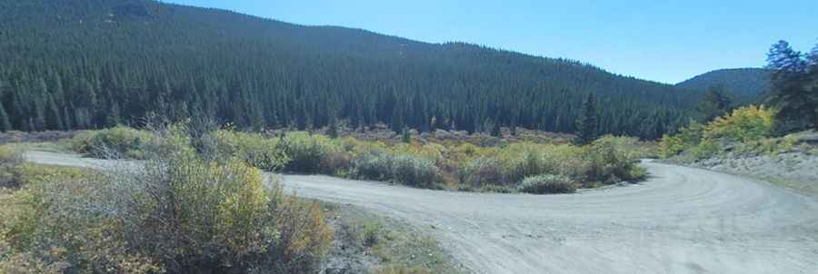
Where is Rock Creek Trail Pass?
The pass, also known as Lost Park Divide, is located south of Bailey, in the central part of Colorado, within the Pike National Forest.
Is the road to Rock Creek Trail Pass unpaved?
The road through the pass is totally unpaved. It’s called County Road 56, also known as Lost Park Road. The road is corrugated so prepare for a bumpy drive.
How long is the road to Rock Creek Trail Pass?
The road is 19.5 miles long, running west-east from US 285 near Jefferson, to Lost Park Campground, where it ends.
Is the road to Rock Creek Trail Pass open year-round?
The road is not plowed in winters. It’s open from May to November, weather permitting.
Pic: vie 303