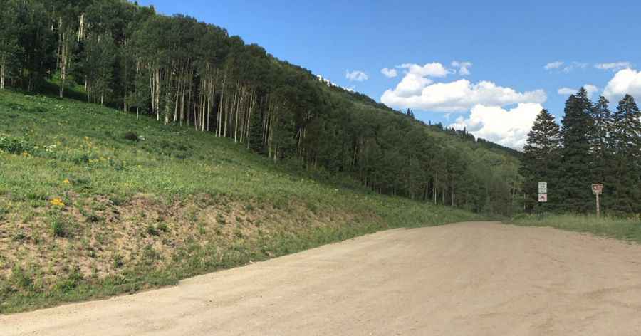
A scenic unpaved road to Crooked Creek Pass in Colorado
Crooked Creek Pass is a high mountain pass at an elevation of 3,051 m (10,010 ft) above sea level, located in Eagle County, in the U.S. state of Colorado.
Where is Crooked Creek Pass?
The pass is located south of Eagle and Sylvan Lake, in the central part of Colorado, within the White River National Forest.
Is the road to Crooked Creek Pass in Colorado unpaved?
The road to the summit is a gravel 4WD track called Eagle-Thomasville Road (FSR #400). It is a scenic drive usually maintained by Eagle County as far south as Sylvan Lake, but 4WD is still recommended. The trail is a bit narrow and bumpy in spots, but it is almost always manageable.
How long is the road through Crooked Creek Pass in Colorado?
The road is 58.25 km (36.2 miles) long, running north-south from Eagle, the county seat of Eagle County, to the paved Frying Pan Road. The pass is marked with a sign at a cattle guard; otherwise, it would be difficult to notice. It is usually impassable in winter.
Pic: Paul Zedeck