How to drive the unpaved road to Carnero Pass in Colorado
Carnero Pass is a high mountain pass at an elevation of 3.100m (10,171ft) above sea level located in the Saguache County, in the US state of Colorado.
Where is Carnero Pass?
The pass is located west of Saguache, in the southern part of Colorado, within the Rio Grande National Forest. The Utes and trappers had established a trail over the pass by the mid-19th Century and by the 1870s, wagons were traversing the pass.
Is the road to Carnero Pass unpaved?
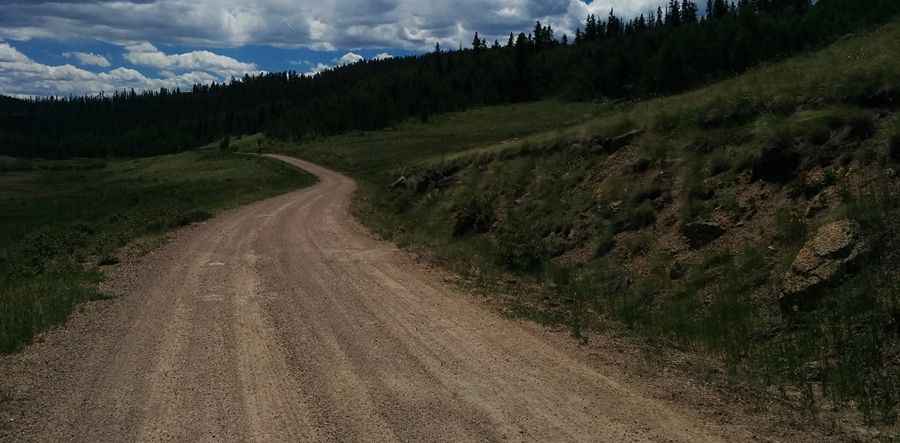
The road through the pass is totally unpaved, in pretty good condition. It’s called County Road 41 G. Most passenger vehicles can do it in fair weather. It comprises many turns and steep sections. It’s narrow in parts.
How long is Carnero Pass?
Starting from the paved CO-114 Road, the road to the summit is 17.54km (10.9 miles) long. Over this distance, the elevation gain is 604m (1,982 ft) and the average gradient is 3.44%.
Is the road to Carnero Pass open year-round?
Set high in the San Juan Mountains, the road is not plowed in winters. It receives heavy snowfalls.
Pic: Scott Amundson