How to drive the unpaved road to Calamity Pass in Colorado
Calamity Pass is a high mountain pass at an elevation of 2.956m (9,698ft) above sea level located in Jackson County, in the US state of Colorado.
Where is Calamity Pass?
The pass, also known as Teller Divide, is located west of Estes Park, in the northern part of Colorado, within the Routt National Forest.
Is the road to Calamity Pass unpaved?
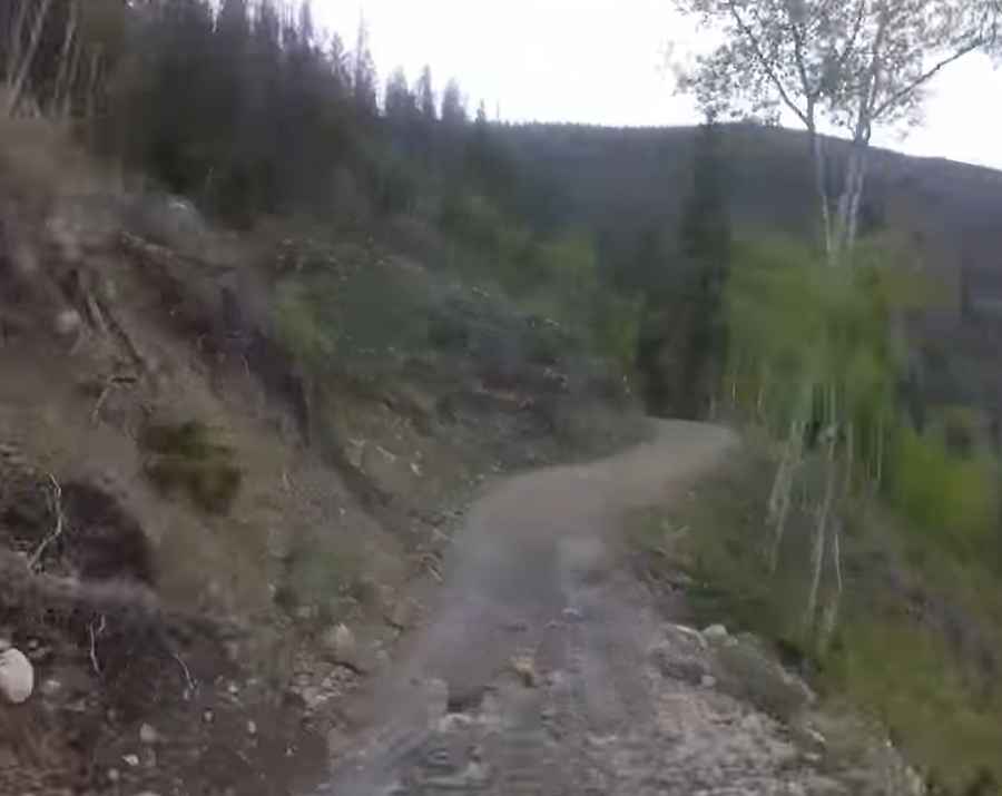
The road to the summit is totally unpaved and rocky in parts. It’s called Forest Service Road 740. A high clearance vehicle is required. Last mile of approach from Rand is steeper and rockier than approach from Gould.
How long is the road to Calamity Pass?
The road through the pass is 17.9 miles long, running north-south from Gould to Rand.
Is the road to Calamity Pass open year-round?
Set high in the Never Summer Mountains of the Rocky Mountains, the road is not plowed in winters.
Pic&video: Craig Toelle