How to drive the unpaved road to Mount Silverheels in Colorado
Mount Silverheels is a high mountain peak located in Park County, in the US state of Colorado. East of the summit, an unpaved road climbs up to at an elevation of 3.589m (11,774ft) above sea level.
Where is Mount Silverheels?
The peak is located north of Fairplay, in the central part of Colorado, within the Pike National Forest.
Is the road to Mount Silverheels unpaved?
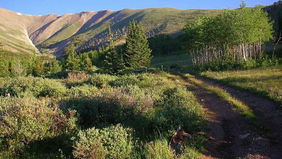
The road to the summit is totally unpaved. It’s called Crooked Creek Road (County Road 669). It comprises narrow parts and steep sections, especially near its end. A 4x4 vehicle is required.
How long is the road to Mount Silverheels?
Starting from Palmer Peak Drive, the road to the summit is 7 miles long.
Is the road to Mount Silverheels open in winters?
Set high in the Front Range of the Rocky Mountains, at this elevation the road is impassable in winters due to heavy snowfalls.
Pic: shlousek