How to drive the unpaved road to Browns Pass in Colorado
Browns Pass is a high mountain pass at an elevation of 3.452m (11,325ft) above sea level located in the Gunnison County, in the US state of Colorado.
Where is Browns Pass?
The pass is located west of Buena Vista, in the central part of Colorado, within the Gunnison National Forest.
Why is it called Browns Pass?
The pass is named for a local prospector, Mr. Brown, who had mine claims in the area.
Is the road to Browns Pass unpaved?
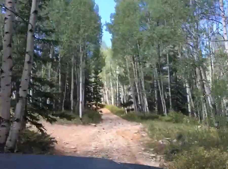
The rough road to the summit is totally unpaved, with rocky parts and steep sections. A 4x4 vehicle is required.
How long is the road to Browns Pass?
Starting from the paved County Road 306, the road to the summit is 6 km long. Over this distance, the elevation gain is 631m and the average gradient is 10.51%.
Is the road to Browns Pass open year-round?
Set high in the Sawatch Range, the road is not plowed in winters.
Pic&video: Charles White