Driving the wild road to Los Pinos Pass in Colorado
Los Pinos Pass is a high mountain pass at an elevation of 3,213m (10,541ft) above sea level, located in the US state of Colorado.
Where is Los Pinos Pass?
The pass is located on the boundary between Hinsdale and Saguache counties, in the southern part of Colorado, within the Rio Grande National Forest.
When was Los Pinos Pass built?
Los Pinos Pass is Spanish for 'the pine trees’. The Hayden Survey crossed this pass back in 1874, and Otto Mears built the Saguache and San Juan toll road over the pass the same year.
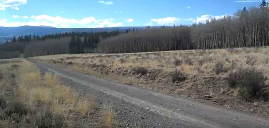
Is Los Pinos Pass in Colorado unpaved?
The dirt road to the summit is called George Bush Drive (Los Pinos Pass Road). It’s totally unpaved and was a well-used Ute Indian trail.
How long is Los Pinos Pass in Colorado?
The pass is 39.58km (24.6 miles) long, running west-east from Cathedral (on County Road 50) to County Road NN 14.
Is Los Pinos Pass in Colorado challenging?
This trail is easy its entire way, and any high-clearance vehicle should have no problems navigating its length. The road is a bit rocky and muddy in places. The drive is steep. Starting from Cathedral, the ascent is 9.49km (5.9 miles) long. Over this distance, the elevation gain is 493 meters. The average gradient is 5.19%.
Is Los Pinos Pass in Colorado open?
Set high in the northern San Juan Mountains, the pass is usually open from Summer to Early Fall.
Pic&video: Jim Gardner