The Incredibly Rough Road to Scotch Creek Pass in Colorado
Scotch Creek Pass is a high mountain pass at an elevation of 3,222m (10,570ft) above sea level, located in the U.S. state of Colorado.
Where is Scotch Creek Pass?
The pass is located on the boundary between Dolores and San Juan counties, in the southwestern part of Colorado, within San Juan National Forest.
Is the road to Scotch Creek Pass unpaved?
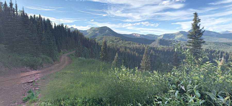
The road to the summit is totally unpaved. It’s called Forest Road 550. This route was also known as Old Scotch Creek Toll Road or the Pinkerton Trail. It’s an incredibly rough road. 4x4 vehicle required.
How long is the road through Scotch Creek Pass?
The road to the summit is pretty steep. Starting at Forest Road 578, the ascent is 6.92km (4.3 miles) long. Over this distance, the elevation gain is 401 meters. The average gradient is 5.79%.
Is the road to Scotch Creek Pass open in winter?
Set high south of Rico, this road is impassable in winter, usually from late October through late June or early July.
Pic: brad Pinkerton