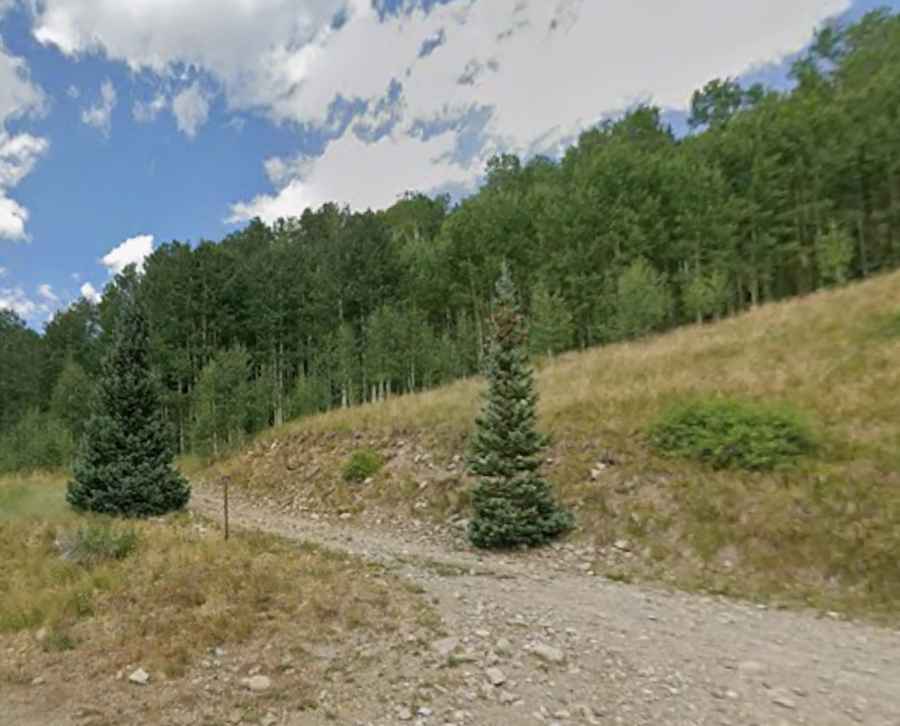
Driving the steep Forest Service Rd 616 to East Lone Cone Pass
East Lone Cone Pass is a high mountain pass at an elevation of 3,286m (10,780ft) above sea level, located in Dolores County, Colorado. Tucked away in the San Miguel Mountains of the Rocky Mountains, this pass offers a secluded and technical driving experience far from the main tourist trails.
The pass is situated northwest of the historic town of Dunton, a region known for its deep mining roots and stunning alpine scenery. The route provides a close look at the Lone Cone peak, an iconic and isolated volcanic summit that dominates the local skyline. The landscape here is a classic Colorado mix of dense evergreen forests and open meadows that transform with the seasons, offering vibrant wildflowers in summer and a treacherous, snow-locked environment in winter.
| Road facts: East Lone Cone Pass | |
|---|---|
| Location | Dolores County, Colorado (USA) |
| Elevation | 3,286 m (10,780 ft) |
| Road Name | Forest Service Rd 616 (Middle Creek Rd) |
| Length | 9.3 km (5.8 miles) |
| Hairpin Turns | 7 |
| Surface | Unpaved / Gravel 4WD Track |
How difficult is the road to East Lone Cone Pass?
The road through the pass, officially known as Forest Service Rd 616 (also referred to as Middle Creek Road), is a challenging 5.8-mile (9.3 km) journey. Running west-east, it connects County Rd 49G to County Road 52. The track is entirely unpaved and consists of a mix of gravel, rocky outcrops, and muddy sections. One of the most technical features of the ascent is a series of 7 sharp hairpin turns that require careful maneuvering. A high-clearance 4x4 vehicle is highly recommended, as the surface is not maintained for standard passenger cars and can be particularly rough after seasonal storms.
When is the best time to visit East Lone Cone Pass?
Due to its high elevation exceeding 10,000 feet, weather conditions at the summit are unpredictable and often severe. The pass is typically impassable during the winter months and well into spring due to heavy snowpack. Avalanches and landslides are real hazards in this part of the San Miguel Mountains. Even in summer, frequent patches of ice and sudden afternoon thunderstorms can make the rocky road extremely dangerous. The best window for exploring this route is from late June through September, when the mud has dried and the high-alpine vistas are at their clearest. Always check local forest service alerts before heading out, as this remote track can be closed on short notice due to environmental conditions.