How to drive the unpaved road to Lone Cone Pass?
Lone Cone Pass is a high mountain pass at an elevation of 3.357m (11,015ft) above sea level located in San Miguel County, in the US state of Colorado.
Where is Lone Cone Pass?
The pass is located east of Groundhog Mountain, in the southwestern part of Colorado.
Is the road to Lone Cone Pass unpaved?
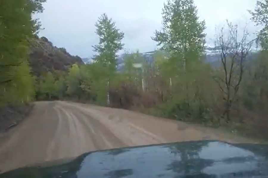
The road to the summit is totally unpaved. It’s called County Road 47. The road comprises steep sections and 8 hairpin turns. A 4x4 vehicle is required.
How long is the road to Lone Cone Pass?
Starting from Road 52, the road to the summit is 3.70km (2.3 miles) long. Over this distance, the elevation gain is 113m (374 ft) and the average gradient is 3.05%.
Is the road to Lone Cone Pass open year-round?
Set high in the San Miguel Mountains range of the Rocky Mountains, the road is usually buried under heavy snow drifts from late October until late spring.
Pic&video: john bishop