Driving the unpaved Nucla-Delta Road to Columbine Pass in Colorado
Columbine Pass is a high mountain pass at an elevation of 2.790m (9,154ft) above sea level located in Montrose County, in the US state of Colorado.
Is the Nucla-Delta Road to Columbine Pass in Colorado unpaved?
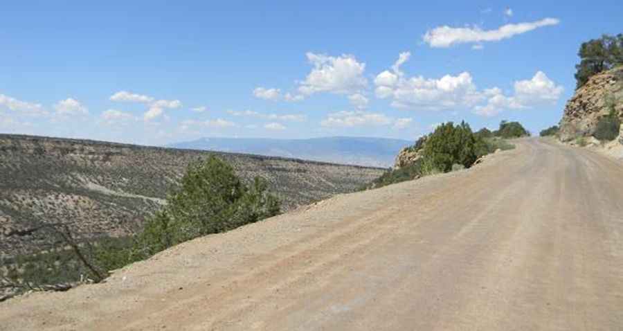
The road to the summit is totally unpaved. It’s called Nucla-Delta Road. Once you reach the Uncompahgre National Forest it is also known as FSR 503. It’s a dirt, wide, smooth well graded road running all the way across Umcompahgre Plateau. It’s a fairly easy road although there are long stretches with drop-offs on one side.
Is Columbine Pass in Colorado open?
Set high in the Dominguez-Escalante National Conservation Area, the road is usually impassable from October to June.
How long is the Nucla-Delta Road to Columbine Pass in Colorado?
The road is 81.43km (50.6 miles) long, running west-east from Nucla (in Montrose County) to Delta (the county seat of Delta County).
Pic&more info: https://activerain.com/blogsview/4694160/the-delta-to-nucla-road-over-the--uncompahgre-plateau