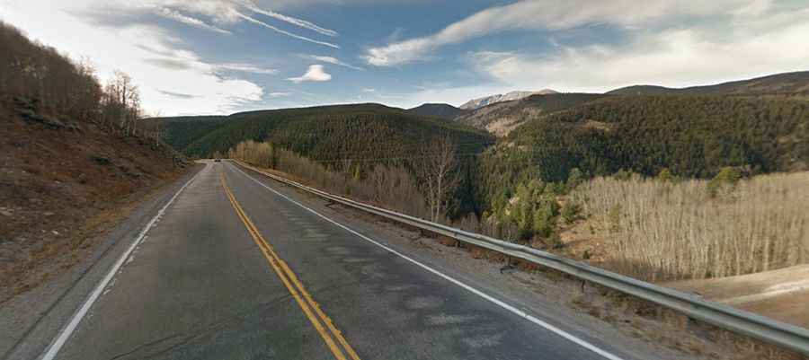
A paved road to Battle Mountain Pass in Colorado
Battle Mountain Pass is a high mountain pass at an elevation of 2,825 meters (9,267 feet) above sea level, located in Eagle County, in the U.S. state of Colorado.
Where is Battle Mountain Pass?
The pass is located in southeastern Eagle County, in the northern part of Colorado near Gilman, an abandoned mining town.
Is the road to Battle Mountain Pass paved?
The road to the summit is fully paved. It’s called U.S. Route 24 (US 24). This climb is short and not too steep, about two miles with a 4% grade, but very scenic.
How long is the road to Battle Mountain Pass?
The pass is 49.72 kilometers (30.9 miles) long, running north-south from Eagle-Vail (in Eagle County along Interstate 70) to Leadville (the county seat of Lake County). The road features some stunning views overlooking the old company town of Gilman.