How to drive the scenic Colorado State Highway 165?
Colorado State Highway 165 (CO-165) is a high-altitude paved road located in Custer and Pueblo counties, in the US state of Colorado. It is known for crossing three distinct mountain divides in close succession along the Wet Mountains.
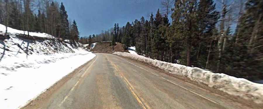
| Road facts: Colorado State Highway 165 | |
|---|---|
| Location | Custer and Pueblo Counties, Colorado (USA) |
| Road Designation | Colorado State Highway 165 (CO-165) |
| Length | 37.1 miles (59.7 km) |
| Highest Pass | Wixson Divide - 2,889 m (9,479 ft) |
| Surface | 100% paved asphalt |
| Route Termini | CO-96 near Fairview to State Highway 78 / McKenzie Junction |
| Key Hazards | Steep grades, sweeping curves, winter ice, wildlife crossings |
Where is Colorado State Highway 165 located?
CO-165 is located in south-central Colorado, running through the San Isabel National Forest along the Wet Mountain range. It connects CO-96 near Fairview in Custer County to State Highway 78 at McKenzie Junction in Pueblo County.
How long is Colorado State Highway 165?
The highway spans 37.1 miles (59.7 km) from north to south, winding through dense pine forests and high-elevation ridge lines.
Is Colorado State Highway 165 paved?
Yes. CO-165 is 100% paved asphalt throughout its entire length. It serves as part of the Frontier Pathways Scenic and Historic Byway, featuring well-maintained lanes, sweeping turns, and multiple scenic overlooks.
Which mountain passes does CO-165 cross?
The route climbs over three distinct high-elevation mountain divides:
- Wixson Divide: 2,889 m (9,479 ft)
- Bigelow Divide: 2,866 m (9,403 ft)
- Greenhill Divide: 2,849 m (9,347 ft)
Is Colorado State Highway 165 open year-round?
Yes. CO-165 is maintained and plowed year-round by CDOT. However, due to elevations exceeding 9,400 feet across the three divides, rapid winter weather shifts, heavy snowfall, and black ice can create temporary driving restrictions and slick surface conditions.