How to drive the unpaved road to the lookout at Bear Valley Mountain in Idaho
Bear Valley Mountain is a high mountain peak at an elevation of 2.528m (8,293ft) above sea level located in Valley County, in the US state of Idaho.
Where is Bear Valley Mountain?
The peak is located in the central part of Idaho, within the Salmon-Challis National Forest.
Why is there a road to Bear Valley Mountain?
At the summit there’s a fire lookout built in 1936. The lookout is no longer used.
Is the road to Bear Valley Mountain unpaved?
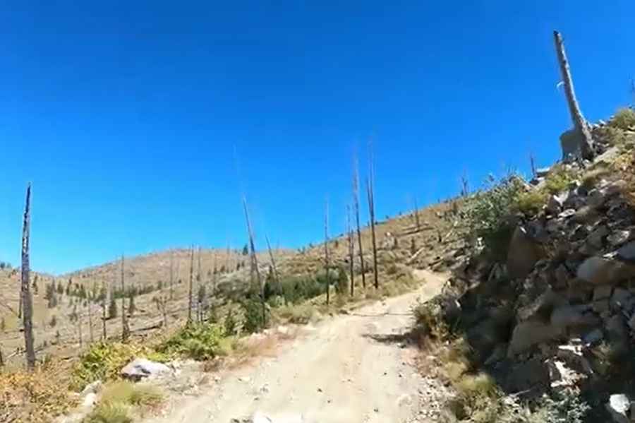
The road to the summit is totally unpaved. It comprises narrow parts and steep sections. It is called Forest Road 583-Bear Valley Mountain Road. The road heading up requires 4wd especially midway up.
How long is the road to Bear Valley Mountain?
Starting from Forest Service Road 579, the road to the summit is 7.56km (4.7 miles) long. Over this distance, the elevation gain is 569m (1,870 ft) and the average gradient is 7.52%.
Is the road to Bear Valley Mountain open year-round?
Set high in the Salmon River Mountains, the road is not plowed in winters.
Pic&video: Joe Page