How to drive the unpaved road to Lake Mountain in Idaho?
Lake Mountain is a high mountain peak at an elevation of 2.827m (9,274ft) above sea level located in Lemhi County, in the US state of Idaho. It's one of the highest roads in Idaho.
Where is Lake Mountain?
The peak is located in the north-central part of Idaho, within the Salmon - Challis National Forest.
Why is there a road to Lake Mountain?
At the summit there’s an FAA radio tower for airplane guidance known as Salmon VOR-DME LKT 113.5. It was once a fire lookout. As soon as you crest the top at the end of the road and see the view it takes your breath away.
Is the road to Lake Mountain unpaved?
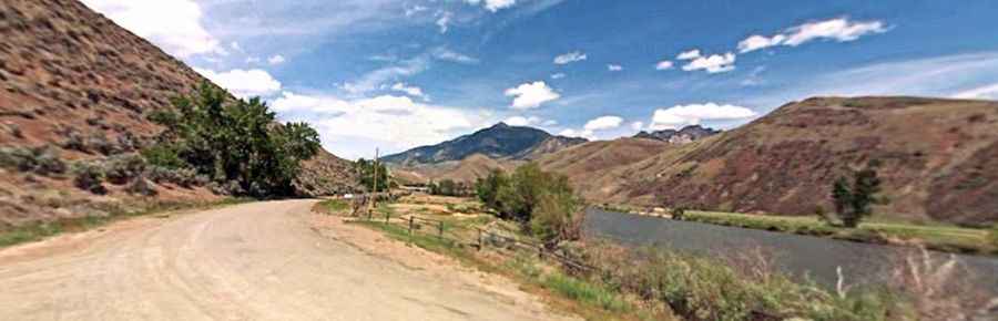
The road to the summit is totally unpaved. It’s called Forest Road 389. It’s mostly graded and maintained. You may come across some logging traffic and potentially mine traffic. A 4WD vehicle is required.
How long is the road to Lake Mountain?
Starting from Forest Road 020, the road to the summit is 0.80km (0.5 mile) long. Over this distance, the elevation gain is 75m (249 ft) and the average gradient is 9.37%.
Is the road to Lake Mountain open in winter?
Set high in the Salmon River Mountains, it’s usually impassable in winters.