Sheep Mountain: Driving the remote NF-012 in the Salmon River Mountains
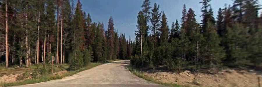
Sheep Mountain is a high-altitude peak located in the Salmon River Mountains of central Idaho. Tucked away in the Salmon-Challis National Forest, the track to the summit is called Sheep Mountain Road, officially designated as the NF-012. It is a rough, unpaved single-lane mountain track that cuts straight through sharp volcanic rock ridges and deep canyon drops with no side protections.
| Road facts: Sheep Mountain Road (NF-012) | |
|---|---|
| Location | Salmon River Mountains, Idaho, USA |
| Elevation | 2,594 m (8,510 ft) |
| Distance | 13.5 km (8.4 miles) from NF-008 |
| Surface | Unpaved loose gravel, sharp rocks, and dirt ruts |
| Vehicle Required | High-clearance 4x4 with low range gears |
How rough is the 8.4-mile climb on Sheep Mountain Road?
The unpaved track begins at the junction with the main forest route NF-008. From this intersection, the climb to the summit stretches for exactly 8.4 miles (13.5 km) through heavily isolated territory. The surface is a broken mix of loose, sharp mountain gravel and deep dirt ruts. As the track gains elevation toward the 2,594-meter peak, the lane narrows down to a single vehicle width with zero steel guardrails or concrete barriers. The switchbacks are sharp and packed with sliding stones, where any steering mistake can send a truck sliding off the unprotected outer shoulder.
How does the Idaho weather change the NF-012 track?
Due to the extreme high altitude in central Idaho, the summit area is buried under thick snowbanks for most of the year, keeping the track completely impassable from late autumn until the height of summer. During the short driving window, sudden afternoon mountain thunderstorms turn the dry gravel sections into a thick, slippery mud path.