How to drive the unpaved road to Thunder Mountain in Idaho?
Thunder Mountain is a high mountain peak at an elevation of 2.553m (8,375ft) above sea level located in Valley County, in the US state of Idaho.
Where is Thunder Mountain?
The peak is located in the central part of Idaho, within the Payette National Forest. At the summit there’s a small lake.
Is the road to Thunder Mountain unpaved?
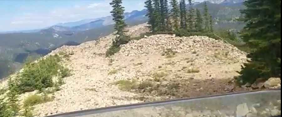
The rough road to the summit is totally unpaved, with very narrow parts and steep sections. It’s called Lake Street. It features many curves and 16 hairpin turns. 4x4 vehicles only.
How long is the road to Thunder Mountain?
Starting from Midnight, the road to the summit is 22.9 miles (36.85km) long.
Is the road to Thunder Mountain open year-round?
Set high in the Salmon River Mountains, the road is not plowed in winters.
Pic: Taylor mink