Driving the wild 4x4 road to Fly Creek Point in Idaho
Fly Creek Point is a high mountain peak at an elevation of 2.739m (8,986ft) above sea level, located in Lemhi County, in the U.S. state of Idaho. It's one of the highest roads in Idaho.
Where is Fly Creek Point?
The peak is located within the Salmon-Challis National Forest, in the central part of Idaho.
Is the road to Fly Creek Point unpaved?
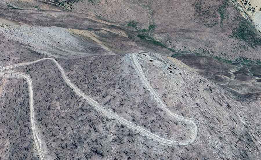
The road to the summit is entirely unpaved. It’s called Forest Road 087, aka Fly Creek Point Road.
How long is the road to Fly Creek Point in Idaho?
Starting from Forest Road 086 (Sleeping Deer Road), the road is 0.80km (0.5 miles) long. Over this distance, the elevation gain is 92m, and the average gradient is 11.5%.
Is the road to Fly Creek Point in Idaho open?
Set high in the Salmon River Mountains, the road is seasonally closed. It opens late and closes early due to snow.