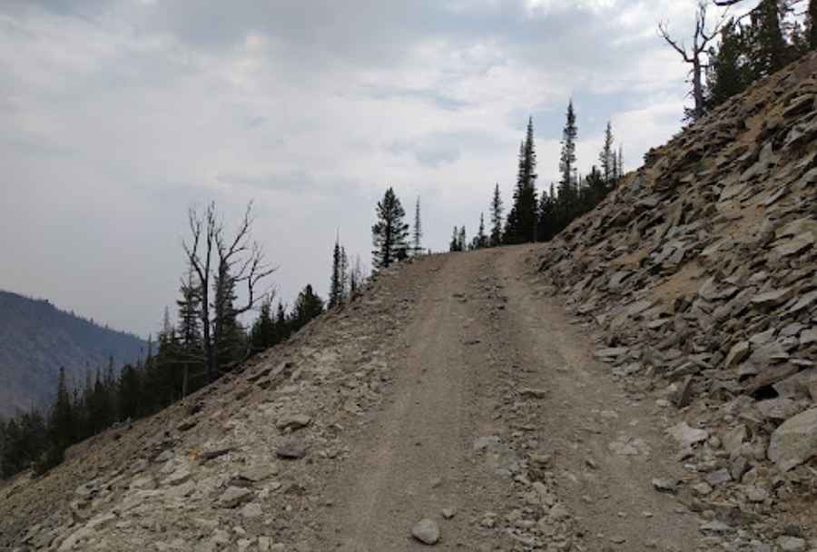
A narrow road to Twin Peaks South: pray you don't meet someone coming the other way
Twin Peaks South is a high mountain peak at an elevation of 3.154m (10,347ft) above sea level located in the U.S. state of Idaho. It’s one of the highest roads in Idaho.
Where is Twin Peaks South?
The peak is located on the boundary between Custer and Lemhi counties, in the center of Idaho, within the Salmon-Challis National Forest.
Is the road to Twin Peaks South unpaved?
The rough track to the summit is totally unpaved. It’s called Forest Road 090. It’s very narrow with 17 hairpin turns. There is no room for error as the drop-off on the downhill side can be pretty scary. While 4WD is not essential, it is a good idea. High clearance, though, is a must.
How long is the road to Twin Peaks South?
The drive is pretty steep. Starting from Forest Road 086, also known as Sleeping Deer Road, the road is 3.54km (2.2 miles) long. Over this distance, the elevation gain is 423 meters. The average gradient is 11.94%.
Is the road to Twin Peaks South open in winter?
Set high in the Salmon River Mountains, this road is usually impassable from late October through late June or early July (depending on the snow). It opens late and closes early due to snow. The area is subject to flash floods and other rapidly changing conditions.
Is Twin Peaks South in Idaho worth the drive?
The view from the top is absolutely amazing and gives you a perspective on the whole geography of the area. The summit hosts a fire lookout called Twin Peaks Fire Lookout. At this elevation it is the highest active fire lookout in the Pacific Northwest. Originally established in 1913, the present structure was built in 1964.
Pic: Jaan Ugrinsky