How to drive the mining road to Estes Mountain in Idaho?
Estes Mountain is a high mountain peak at an elevation of 2.900m (9,514ft) above sea level, located in central Custer County, in the US state of Idaho. It's one of the highest roads in Idaho.
Where is Estes Mountain?
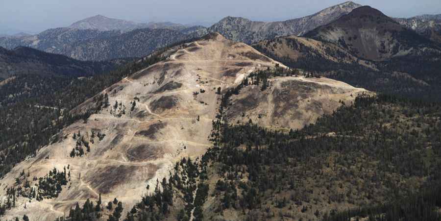
The peak is located north of Stanley, in the central part of Idaho, within the Sawtooth National Forest. Mines are located all the way to the summit. Near the top there’s a parking. This peak has been under assault by miners since the mid-1800s.
How long is the road to Estes Mountain?
Starting from Eightmile Creek Road, the road to the summit is 5.8 km long. Over this distance, the elevation gain is 541m and the average gradient is 9.32%.
Is the road to Estes Mountain unpaved?
The road to the summit is totally unpaved. It’s a 4wd track full of hairpins and albeit steep. In the 2020’s, the mining activity ceased and the mining road to the summit is not maintained as it used to be. It’s gated and closed early on and has a “No Trespassing” sign. The road is now in poor shape and does not appear to be maintained. It requires a 4WD vehicle and good tires.
Is the road to Estes Mountain open year-round?
Set high in the Sawtooth Range, the road is not plowed in winters.
Photo credit: Idahoaclimbingguide.com