Discovering the scenic Geology Tour Road in Joshua Tree NP
The Geology Tour Road is a very scenic drive located in Riverside County, in the U.S. state of California. The road leads through one of Joshua Tree National Park's most fascinating landscapes, where the forces of erosion, earthquakes and ancient volcanoes have played out in stunning splendor.
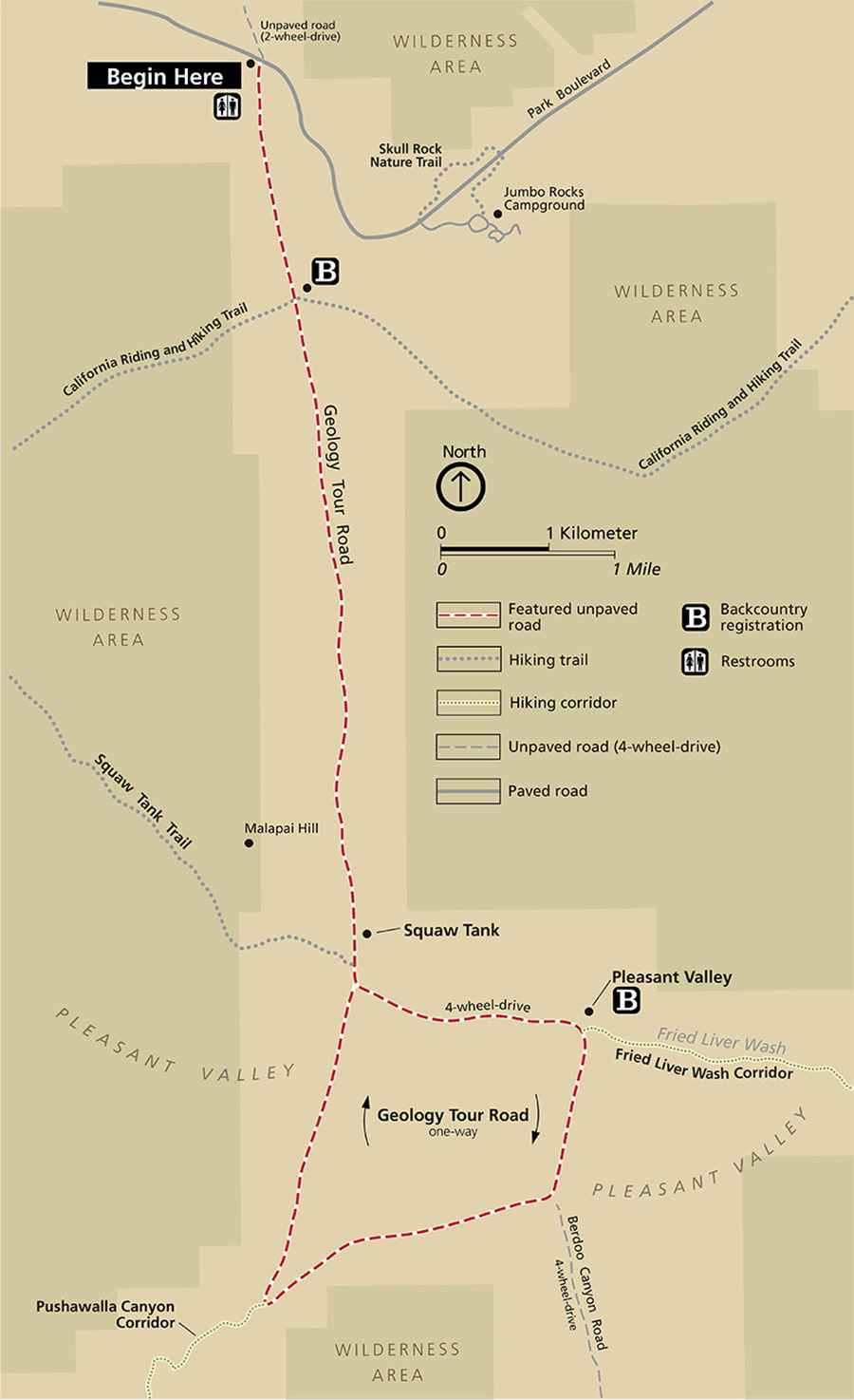
Where is Geology Tour Road?
The road is located in the southern part of California, within the Joshua Tree National Park.
How long is Geology Tour Road?
The road is 29km (18-mile) long. It turns south from the paved road two miles (3.2 km) west of Jumbo Rocks Campground. The distance from the junction to Squaw Tank is 5.4 miles (8.8 km) This section is mostly downhill but bumpy and sandy. Starting at Squaw Tank, a 6-mile (9.7-km) circular route explores Pleasant Valley.
Is Geology Tour Road unpaved?
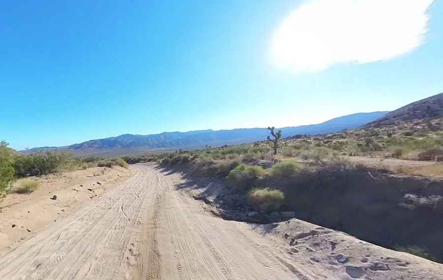
The road is totally unpaved, with gravel and sand. It is a fairly good dirt road with lots of washboards and ruts in the first few miles and then a fair bit of soft sand after that.
Do I need a 4x4 vehicle to complete Geology Tour Road?
In good weather, most passenger vehicles may access the first few miles of the Geology Tour Road. Watch for the sign marking the point beyond which a 4-wheel-drive vehicle is recommended, and turn around there if your vehicle is not capable of handling deep ruts and soft sand. The road is not suitable for campers, trailers, and motor homes. 4×4 is recommended, but you can usually get to Squaw Tank without it. Driving on to complete the loop generally requires 4×4 though.
How long does it take to complete Geology Tour Road?
Plan 2 hours to complete the drive. It’s one of the famous backcountry roads in the Joshua Tree National Park.
Is Geology Tour Road worth the drive?
There are some interesting rock formations along the way. Pick up a map at the beginning so you know what you're looking at. A printed guide is available at the beginning of the road. There are 16 stops along a dirt road and it takes approximately two hours to make the round trip. An interpretive brochure for the Geology Tour Road that highlights each stop is available online and at the beginning of the road.
Pic: Hunter Hespen