Mengel Pass in California: Only Experienced Drivers with Advanced Off Road Skills
Mengel Pass is a mountain pass at an elevation of 1.314m (4,311ft) above sea level located in Inyo County, in the US state of California. Famous for the site where Charles Manson was captured by police, it is a favorite Jeep trail in Death Valley. Rough 4WD vehicle needed.
Where is Mengel Pass?
The pass is located in the eastern central part of California, within Death Valley National Park. The pass links Panamint Valley on the west end of Death Valley and beautiful Butte Valley on the east side.
Who is Mengel Pass named after?
The pass is named after Carl Mengel, a historic prospector from the early 20th century. At the summit is its grave, a stacked rock memorial at the top.
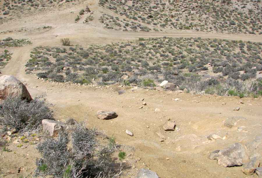
Is Mengel Pass in California unpaved?
The road to the summit, also known as Mengle Pass, is unpaved. It’s called Coyote Canyon Road.
How long is Mengel Pass?
The road is 8km (5.0 miles) long, running south-north from Goler Wash Road to Butte Valley Road. It is recommended that you bring extra fuel as filling stations are few and far between in Death Valley. Also bring plenty of water and never travel alone.
Is Mengel Pass challenging?
Road conditions are always changing. Experienced 4WD drivers only: quite a bit challenging for some SUVs. Section over both sides of Mengel Pass is challenging, steep and rutted. This is a long, but scenic trail. The most difficult part is on the pass itself which has some deep ruts and rocky areas. Its harsh weather and terrain can be challenging, but its reward of solitude and spectacular scenery warrants the trip. Along the way you’ll see many broken body panels littering ground as evidence of past accidents. The trail is no easy feat with its constant changing terrain and difficulty. Be fully prepared for mechanical/medical breakdowns as towing and medical evacuation would be problematic. Stay alert for potential turnouts as you may meet traffic in inconvenient locations.
Pic: ikanode