Lemoigne Canyon Road is One of the Gnarliest Drives in Death Valley NP
Lemoigne Canyon Road is an exciting, extremely slow, rocky drive located in Inyo County, in the U.S. state of California. The road features numerous washouts and is often very rocky. It’s one of the most challenging backcountry roads in Death Valley National Park.
Where is Lemoigne Canyon Road?
The road is situated in the eastern-central part of California, within Death Valley National Park, in the southern Cottonwood Mountains.
Why is it Called Lemoigne Canyon Road?
The road is named after Jean Lemoigne, a French mining engineer and prospector.
Is Lemoigne Canyon Road Unpaved?
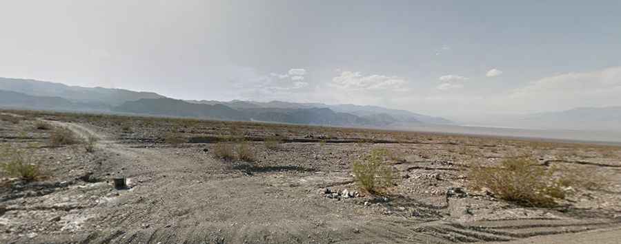
The road is completely unpaved and extremely rough. Only 4x4 vehicles with high clearance are recommended—don't attempt this road in a standard car. Large washouts can be found along the route, which travels through Lemoigne Canyon. The road is very rutted, crosses multiple gullies, and traverses an alluvial fan to the canyon entrance, beyond which vehicle travel is not allowed. With its technical challenges, this road is considered one of the worst backcountry routes in all of Death Valley.
Where Does Lemoigne Canyon Road Start and End?
The road begins at the paved CA-190, north of Emigrant Campground, about 6 miles south of Stovepipe Wells. Drive west-southwest for about 4.2 miles to find parking or camping space. The road continues for another 1.2 miles, dropping into the wash and becoming even rougher until it ends at a barrier with limited parking. Beyond the 4.4-mile point, the old road is closed, but a hiking trail leads to Lemoigne Mine, known for its lead-zinc-silver deposits.
How Long Does It Take to Drive Lemoigne Canyon Road?
Plan for about 40 minutes to complete the drive. This route promises miles of unforgiving desert terrain.